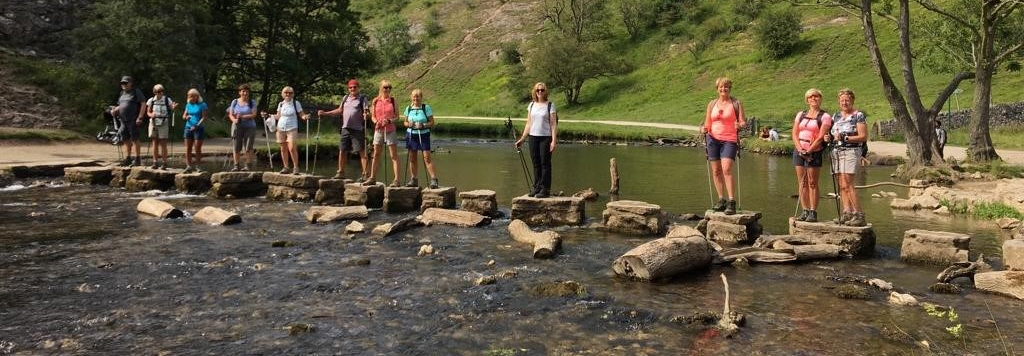
These walks are a great day out. We usually meet for coffee / breakfast then head off for a great circular walk.
APRIL 4th The Roaches and Tittesworth Water
This is a great fairly local walk on the edge of the Peak Distrcit. We start from the Visitors Centre at Tittesworth Water and head North to walk the full length of the fantastic Roaches Ridge. We then follow the lower flanks of the ridge to come back to the Visitor Centre for lunch. We then head off to discover the flower meadows, woodland and wetland wildlife of Tittesworth Reservoir. 11 miles 1685ft ascent
MAY 2nd Cressbrookdale & Monsal Trail from Eyam

This is such a fab walk that it warrants doing it again, mainly for the tea and scones at the end of the walk! We meet in Eyam and head out west on a great track towards Foolow. This then leads us across farmland and over the A623 into the beautiful limestone dale of Cressbrook. We then follow the River Wye through the valley to join the Monsal Trail for a short distance. We leave the Monsal Trail and head through the lovely village of Great Longstone, up onto Longstone Edge, and across the moors past numerous quarries, one of which was used in the latest Mission Impossible film. Its then back into Eyam for well earned tea and scones. 12 miles 1700ft ascent.
JUNE 27th Rivington & Anglezarke

Who knew what lies beneath the television mast on Winter Hill? To the North of Bolton, near the small town of Horwich this walk takes us around gorgeous reservoirs through an area known as the mini Lake District. We then make our way up to Rivington Pike which has far reaching views. We then explore the remains of a huge country estate and the UK’s most enchanting ‘Lost’ garden, designed by Thomas Mawson and built by Lord Leverhulme. Its a magical place of hidden paths, caves, structures, a ravine and lakes covering an area of roughly 45 acres of hillside. 11 miles 1700 ft ascent.
JULY 25th Win & Lose Hills from Edale

Lose Hill and Win Hill are two of those iconic (and epic) hills in the Peak District. There are plenty of routes to hike them individually but this circular walk ticks off both hills in one beautiful route. This walk has two ascents, from Edale to Lose Hill then down to the Hope Valley and back up again to Win Hill summit. This does mean we will be treated to two beautiful and different views from the top of each hill. The route begins from Edale village and heads up to Hollins Cross, before enjoying the Great Ridge via Back Tor with views behind to Mam Tor until you reach the stone marker of Lose Hill. Next, it’s downhill to the valley before a tough slog up to Win Hill summit. And from here you head down past Hope Cross, via Jaggers Clough and all the way back to Edale. 11.6 miles 2540ft ascent
AUGUST 22nd Hayfield, Cracken Edge & Whitehough from New Mills

This is such a good walk. We start in New Mills and follow the Sett Valley trail, which is perfect Nordic walking terrain to the lovely village of Hayfield. From here we head in a southerly direction ascending through Foxholes Clough, a small ravine onto dramatic moorland, which leads to Cracken Edge, which has superb 360 degree views. We then descend through Chinley to the tiny hamlet of Whitehough where we have lunch at The Old Hall Inn. After lunch we make our way along the River Goyt to Torrs Riverside Park and the Millenium Walkway. 11.2 miles, 1725ft ascent.
SEPTEMBER 19th The Clwydian Skyline.from Loggerheads Country Park.

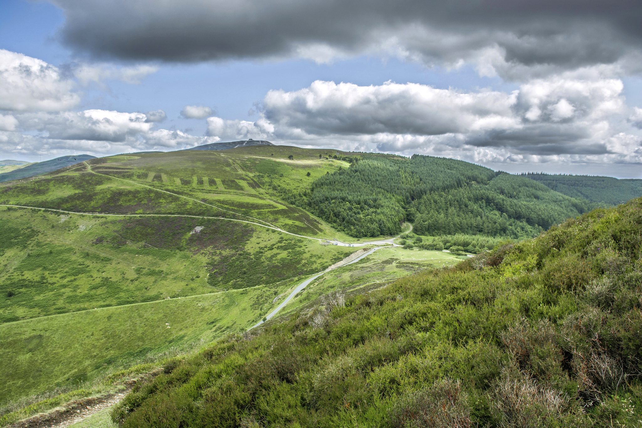
The Clwydians are the first hills you see when driving into Wales from the North West, consist of dark, rolling ridges that rise up from the sea at Prestatyn and decline 20 miles or so south in the Alun Valley. This walk starts at the Information Centre at Loggerheads, follows the shallow, swift-flowing River Alun through a narrow limestone valley led with wych elm and oak. We then climb out of the valley to traverse a short stretch of farmland before walking through heather fields to Moel Famau, which means ‘mother mountain’ and at 1818 ft (554m) is the highest point of the Clwydian range. We then join the Offas Dyke Path and follow the stunning ridges south, which have been designated as an AONB (Area of Outstanding Natural Beauty) 10.5 miles 2128ft Ascent.
OCTOBER 24th Chirk & Pontfadog.

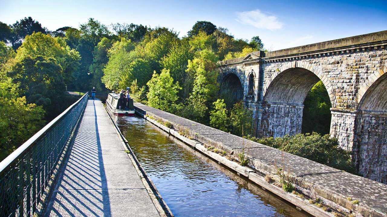
In its lower reaches, the River Ceiriog marks the boundary between Wales and England. This walk explores some of the borderlands stirring landscapes and rich history, taking in Chirk Castle, a section of the Offas Dyke Path, the Ceiriog Valley and finishing with an exciting crossing of Chirk Aqueduct, which has one end in England, the other in Wales. We stop for a pub lunch at The Swan Inn at Pontfadog. 10.5 miles 1900ft ascent.
Price: Day walks are charged at 2 walks from your prepaid block, or £12.00.
- How to book: Please email or text to book your place
- What to bring: See our Nordic Walking Day Walk kit list »
For a shorter HALF day walk (8-9 miles) we also have Middle Distance TRAINING Walks.
The Middle Distance walks are charged at 1 walk from your block or £6.
DETAILS TBA
